Miners Falls: Pictured Rocks' Most Powerful Waterfall Is Getting a New Way Down
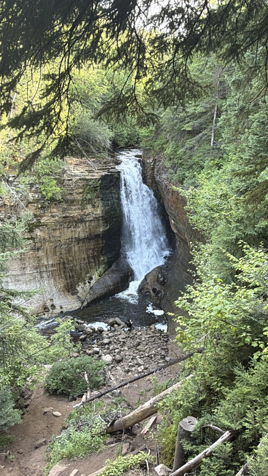
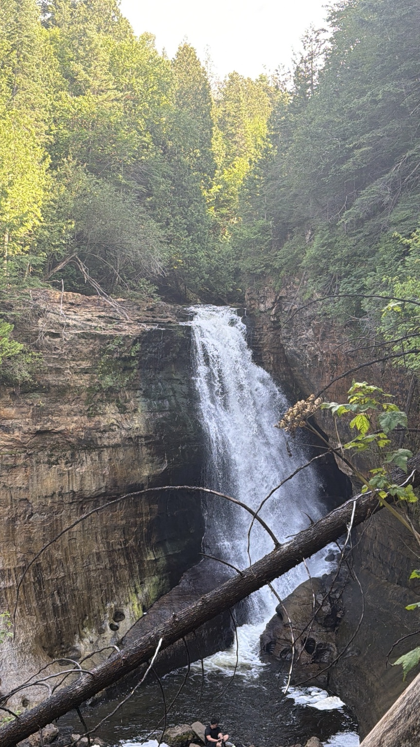
The National Park Service calls Miners Falls the most powerful waterfall in Pictured Rocks National Lakeshore, and once you're down at the lower overlook, it's pretty easy to understand why.
Miners Falls doesn't make you work too hard for the payoff.
The hike is only about 0.6 mile each way, and most of the trail is fairly level. Then you reach the overlooks, head down the stairs, and suddenly the Miners River disappears over a sandstone ledge into the ravine below.
It's about a 50-foot drop.
But standing there, 50 feet doesn't really tell the story.
The National Park Service calls Miners Falls the **most powerful waterfall in Pictured Rocks National Lakeshore**, and once you're down at the lower overlook, it's pretty easy to understand why.
There's another reason Miners Falls is worth talking about right now, too.
A pretty big change is coming to the way we're able to experience it.
A Short Hike With a Big Finish
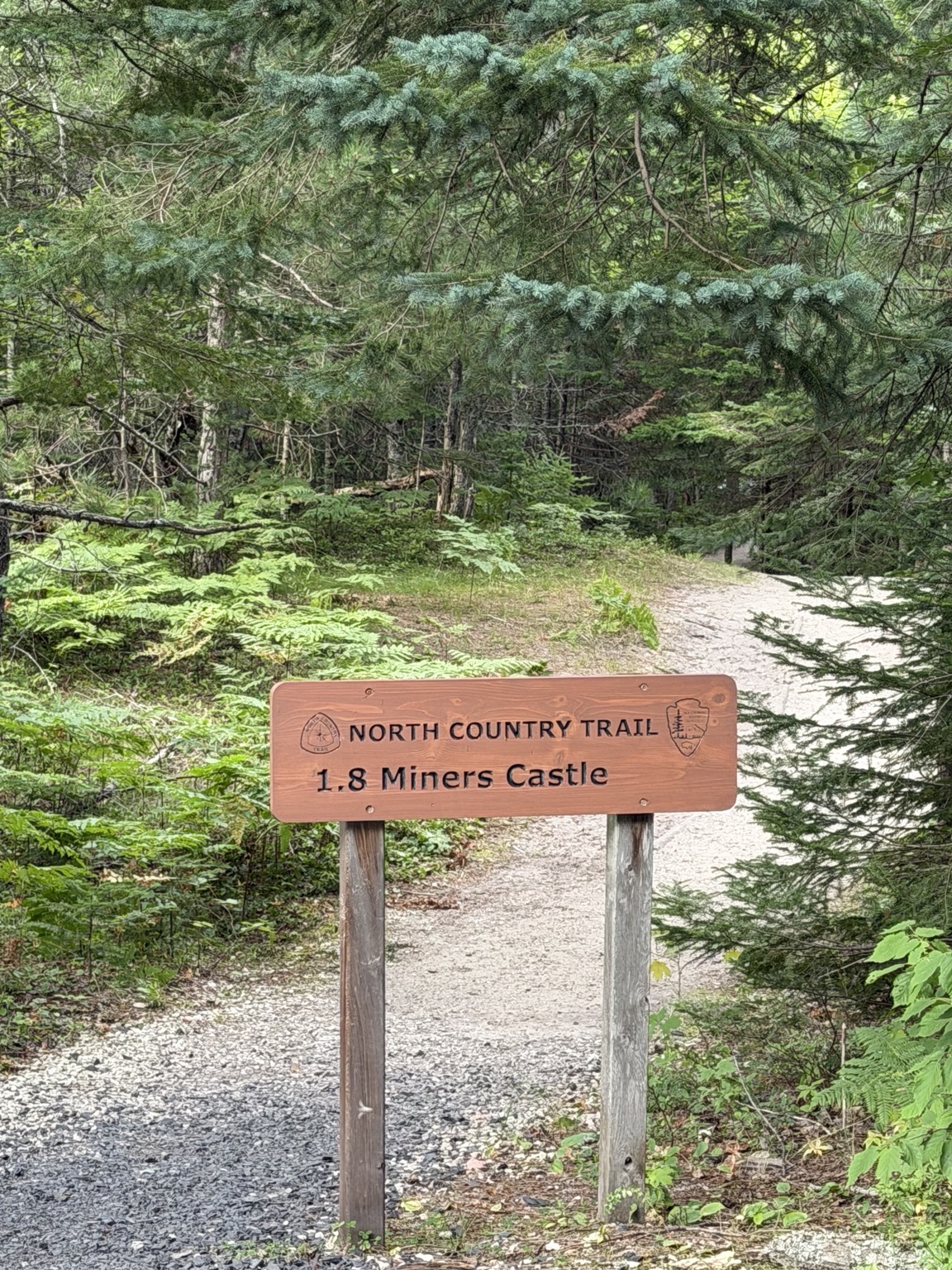
Miners Falls is about 10 miles northeast of Munising, reached from Miners Castle Road.
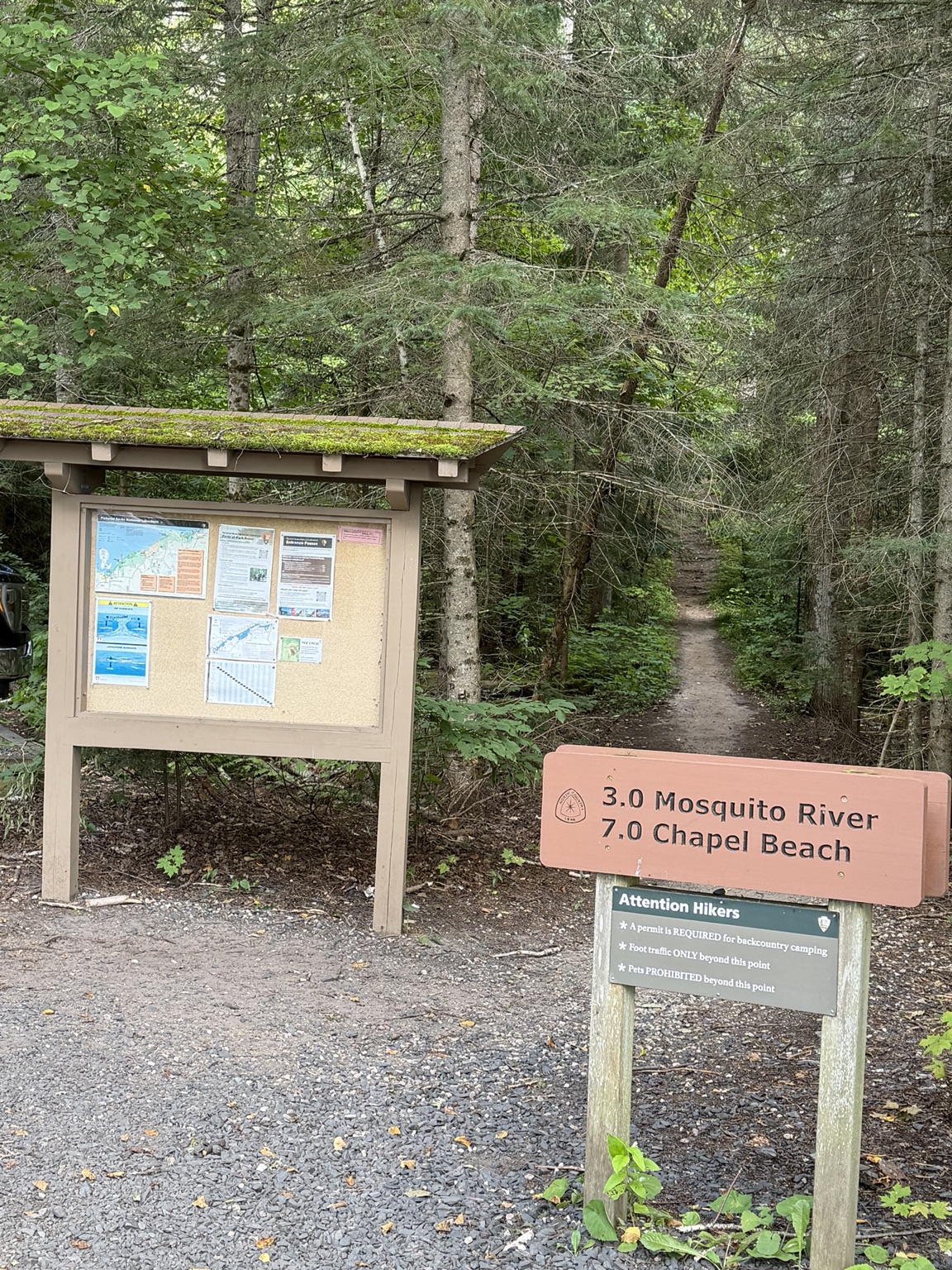
From the parking area, the trail runs about 0.6 mile through the woods to the falls, making it roughly a 1.2-mile round trip.
The walk itself is fairly easy and mostly level. It's the end that'll get your legs working a little harder, with 64 steps leading down to the lower viewing platform.
There's an upper overlook, too, but the lower platform gives you a much better sense of the Miners River dropping into that narrow sandstone ravine.
And that's part of what makes this waterfall feel so powerful.
Instead of spreading out across a broad ledge, the river is pushed through a relatively tight space before dropping into the ravine.
It has some punch.
A Landscape That's Still Changing
Those sandstone walls make a heck of a setting for the falls, but they aren't permanent.
Miners Falls has experienced a significant rockfall below the viewing platform. We don't know exactly when it happened, but in 2006 the National Park Service included it among several major rockfalls that had occurred at Pictured Rocks during roughly the previous dozen years.
That's just how this landscape works.
Water, ice, gravity and time are still working on it.
Visitors have left their mark, too.
Over the years, people have created unofficial routes toward the Miners River and the bottom of the ravine. The Park Service has documented erosion, vegetation damage and safety concerns along those routes.
Now there's a plan to do something about it.
A New Way to See Miners Falls
The National Park Service has approved a project to replace the existing stairs and viewing platforms.
But this isn't just a rebuild.
The plan also includes a new rustic trail extending from the lower viewing platform toward the valley floor and base area of Miners Falls.
That's the part I'm really interested in.
Instead of people making their own way down the ravine, the goal is to provide a designated route while reducing damage to the surrounding landscape.
And this isn't just an idea sitting on paper. The project is already moving forward.
Contractors conducted soil borings around the overlooks in June 2026 as part of the engineering work. As of summer 2026, the Park Service anticipated installing the new stair structure in **2027**.
That's an anticipated timeline, not a guaranteed opening date.
Still, if you've visited Miners Falls before, the experience here could look quite a bit different in the next few years.
And getting a designated route toward the bottom?
Yeah... that's going to change how people see this place.
Visiting Miners Falls Now
For now, though, the official route remains the familiar 1.2-mile round-trip hike.
There are upper and lower overlooks, with 64 steps leading to the lower platform. Leashed pets are currently permitted on the trail and viewing platforms.
The parking area is about half a mile off Miners Castle Road, roughly four miles north of H-58. A seasonal vault toilet is available.
If you're traveling in a larger vehicle, there's another detail worth knowing. The Park Service advises vehicles longer than 32 feet not to attempt the road into the Miners Falls parking area.
And if you notice unofficial paths around the falls, don't mistake them for part of the trail.
The current designated route does **not** lead to the bottom.
Until the new route is built and officially opened, stick to the trail and viewing areas.
With changes coming to the site, it's also worth checking current Pictured Rocks conditions before heading out.
Worth the Short Hike
You don't need an all-day hike to see one of the best-known waterfalls at Pictured Rocks.
In a little over a mile, you get a walk through the woods, a sandstone ravine and what the National Park Service calls the most powerful waterfall in Pictured Rocks.
That's already plenty of reason to make the hike.
But right now, there's something else that makes Miners Falls interesting.
We're getting a chance to see this place before the experience changes.
If you've been here before and come back after the planned improvements, you may get to experience a waterfall you've already seen from an entirely new perspective.
And if you've never been?
Well, you might have a reason to make the hike twice.
The waterfall itself isn't changing because of the project.
**The way we get to experience it is.**
More Photos
Keep Exploring
Find more waterfalls, fishing spots, hikes, and hidden places across the Upper Peninsula.